Explore Kosovo’s Majestic Peaks

Kosovo’s mountains are a paradise for hikers and campers, offering breathtaking landscapes, unspoiled nature, and trails that lead to unforgettable adventures.
Mountain tourism within ecotourism represent the categories the main tourist attractions of regions such as Kosovo that have these natural assets and that are also important for economic development, community development and care for the environment.
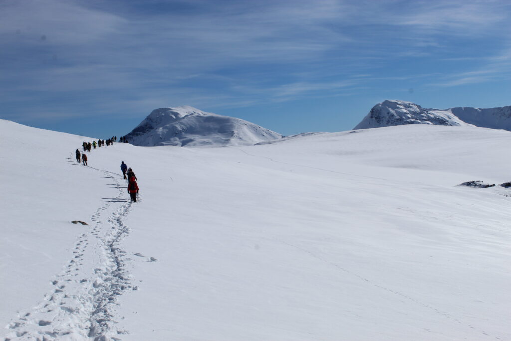
Mountain tourism refers to activities and experiences that take place in mountain regions. These regions usually have more rugged terrain, higher altitudes and ecosystems other than urban ones. Mountain tourism includes a wide range of activities and attractions that meet different interests and preferences for different groups. Some common examples of mountain tourism include: Skiing, hiking, mountain biking, climbing and mountaineering. Areas with the greatest potential in the framework of mountain tourism in the Municipality of Dragash are: Brodi, Guri i zi, Vertopi, Skarpa, followed by Restelica and Zllipotoku. Dragash offers spaces for the development of all these activities, but even more as it also fulfills the cultural and ethnic aspect of tourism through its monuments different cultural-historical and capacities for the development of ethno-villages or ethnotourism which you can find in other category within this Web Page.
Begin your exploration in these stunning regions:
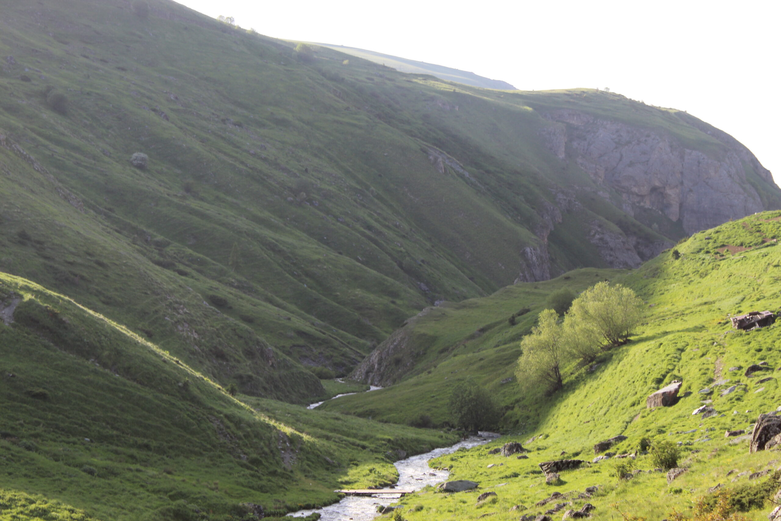
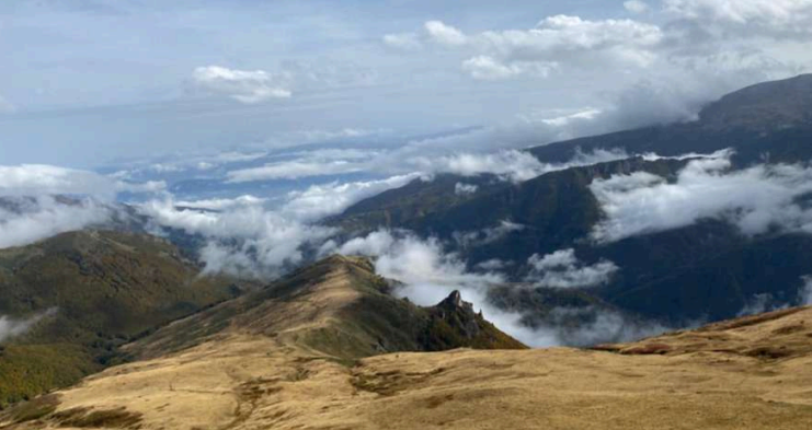
Dragashi – Sharr Mountains

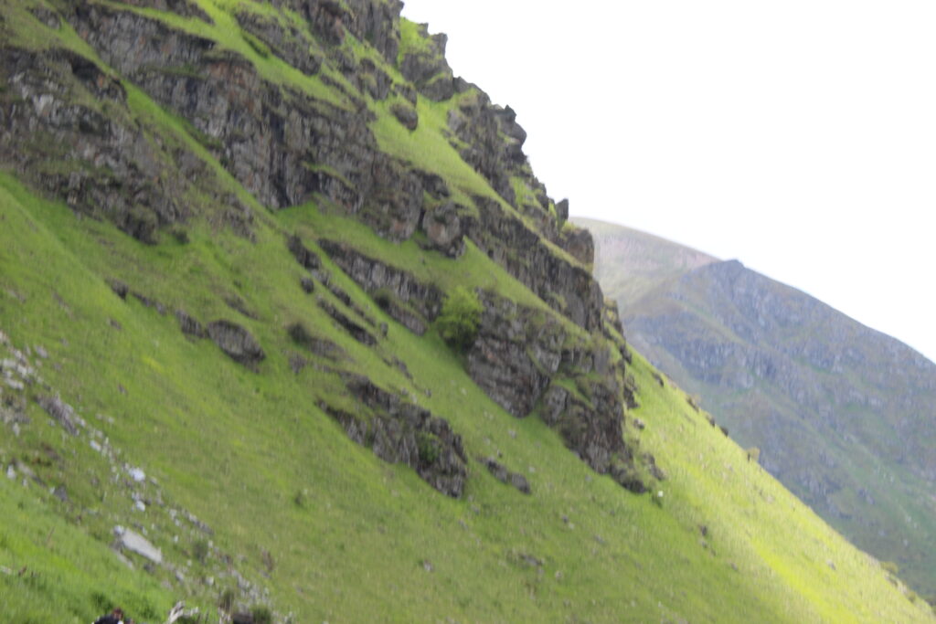
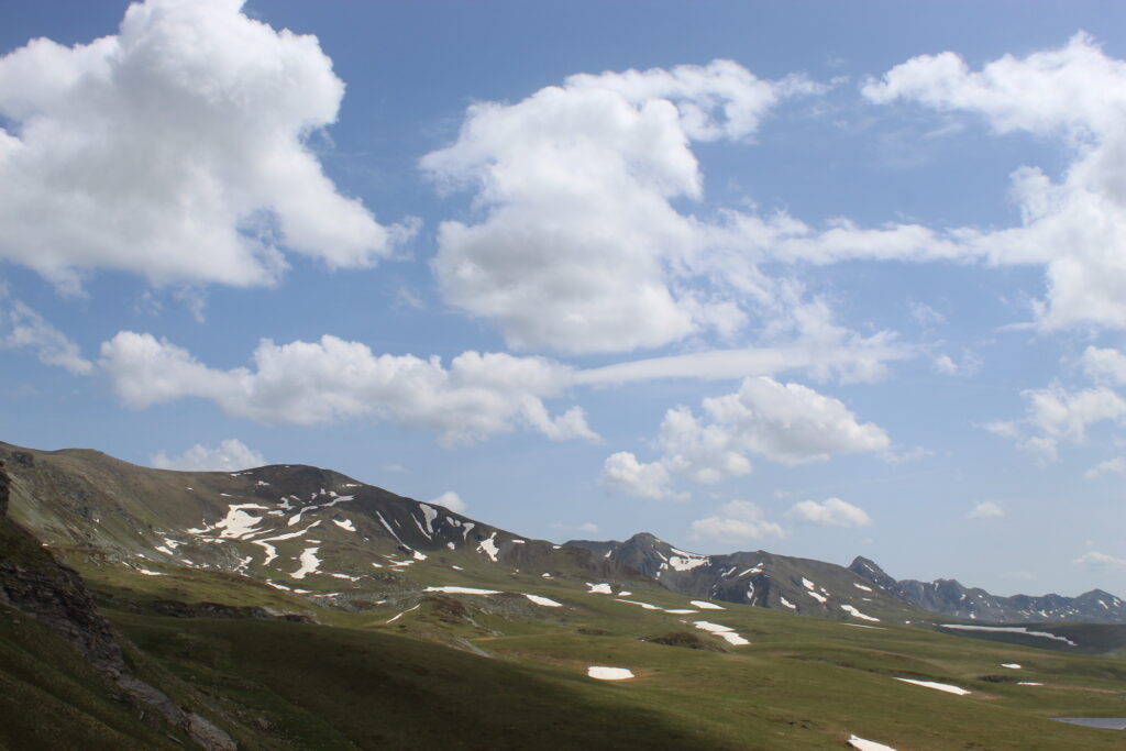
A true jewel of the Kosovo, the Sharr Mountains boast diverse trails and awe-inspiring peaks. Explore Brod, a serene alpine haven; Skarpa, known for its sweeping vistas; Vertop, a paradise for adventurers; and Rudoka, Kosovo’s highest peak.

Camp beneath the stars and connect with the region’s rich traditions.

Brodi is one of the villages of Gora

Dragash which is located in the eastern part of Dragash with approx. 1000 inhabitants which is surrounded by the village Restelica and the high mountains of Sharri. Part in the northeast is mountainous while the southwest is hilly with 2,220 ASL. Brodi is a village rich in natural resources water sources, pastures. Brod also has features in the cultural aspect, which is characterized by baritism, microtoponyms from folklore such as Cape of Bride etc. While the village is characterized by stone houses, typical of the area, which form a type of clustered village, that at the same time, it is among the densest villages per km2. Brod has a significant number of paths that enable walking, climbing numerous peak points for about and reaching some tourist attractions which you can find here on this Web Page.

Hiking trail Brod

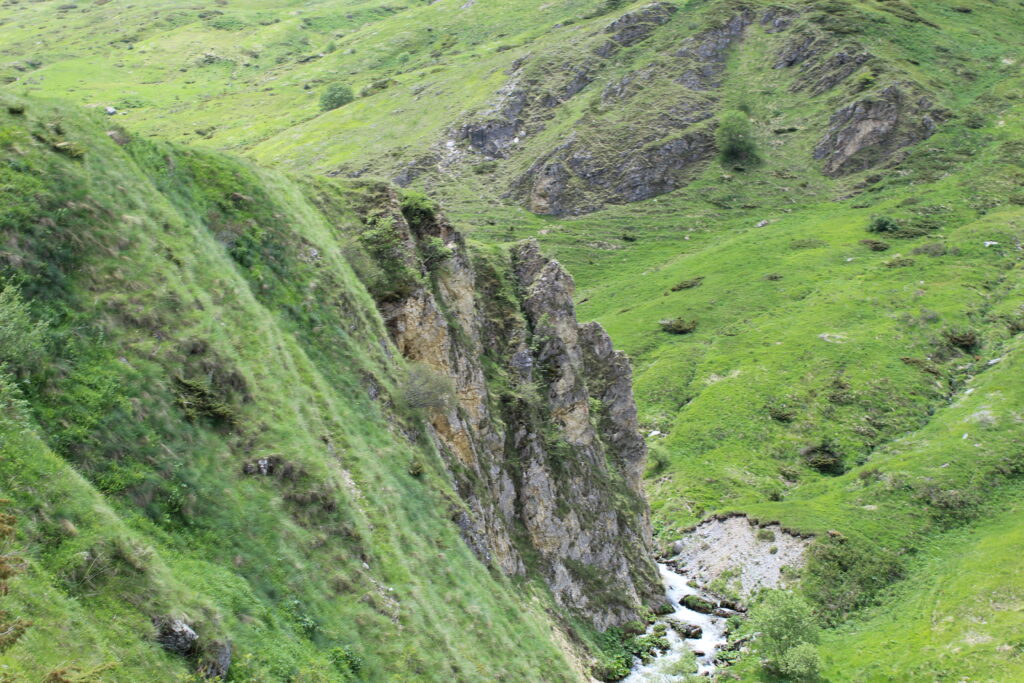
Rudoka Rudoka e Madhe, 2660 ASL lies in Kosovo and North Macedonia. It is considered the highest peak in Kosovo (2 meters higher than that of Gjeravica). In some texts after the last measurements the height of Rudoka is considered 2660 meters also known as the Peak of the Man. The peak of Rudoka  offers  amazing views of the river of Qelepina, Mountains of Radika as well the highest peak of  Sharri, Korab mountain. The length of the path is 18.4 km the path is also the stream, that the local residents are referred to by the name Reka, which originates nearby of Qelepina Peak. The uniqueness of this path is that if this river is conveyed, easily a considerable number of peaks can be achieved including Rudoka e Madhe.

Hiking Trail Brod – Shutman Lake This trail is also considered the most popular trail in Brod. The hiking trail starts from Brody to Lake Shutman, which is considered one of the largest lakes mountain in Kosovo.

Hiking Trail Brod – Three peaks The Brod-Three peaks trail is one of the mostknown in the area of ​​Brod. There may be several points departure depending on the hiking plan of the climbers. One from the main points is the part from the ski slope  Hotel Arxhenes,  which can also be reached by ski lift. After the first climb which is quite challenging the altitude begins to moderate. On the way to his neck The village of Restelica can also be seen in Zllipotoku

Mountain Tourism in Opoja

Opoja is the other district of Dragash which has a total of 18 villages and is surrounded with Prizren in the north, in the northwest with Zhur, in the east with Struzhë in  southeast with North Macedonia and in the west with the province of Gora. Opoja is surrounded by mountains, but in the interior there is terrain field very suitable for eco-tourism and agro-tourism. The position  geographical and other agricultural activities in this region, obviously improves the river Plavë, which forms the largest river system in Dragash  and which includes 63% of the territory of this municipality. It lies at latitude 42º 00′ 18″ N. and 42º 09′ 04″ N. and longitude latitude 20º 36′ 17″ E and 20º 47′ 40″ E and has a mountainous climate. Height above sea level is 1380 m, however, the Albanian population lives there. The population of Dragashi is distributed in 36 settlements, in the urban area they live only 1,039 inhabitants, which means that all the rest live in distributed in the villages. In the territory of Opojë, the villages with the largest number of population are: Bresana (2839), Brezna (1990), Kuki (1658).

Hiking trails

  • 1.Shtegu Guri i Zi – Vertop; The peak of Vertop lies above the village  Zaplluxhe and is located on the border with North Macedonia. This trail is characterized by views fantastic but also challenging climbing to the top of Vertop which is 2555 m/lmd. The road to this trail starts from Zappluxhe village to the road to Black Stone. Top is open 360 view stairs from where you can see Skarpa, the lake Karanikolles, Maja e Zeze, Sharri of Macedonia, Koritnik, Pashtriku and Tito’s peak.
  • 2.Shtegu Guri i Zi – Skarpa; From the village of Zaplluzh to the Black Stone, there is a paved road with a length of about 6 km. In the end of the road, the walk must be done without a car because of the road, meanwhile, this path up to Black-Rock it is about 2.5 km, as there are different roads from which you can get to Guri i Zi. From there the division is made to Skarpa and Vertopi. Initial height: 1162 m/lmd, including Guri i Zi  the height reaches up to 1515 m/lmd. Path Details:
    Length of the trail: 12 km
    Maximum height: 2474 lmd
    Difficulty: Medium
  • 3 .Shtegu Kuk – Pllajnik – Radeshë – Pishat e Bresanës; This path is also suitable for initial visitors who wish to through hiking in the mountainous areas pass from Opoja to Gore. It is considered an easy path, since most of the terrain does not develop on high terrains difficult. The one-way path distance is 7.2 km and the duration is 4 hours. The highest point is about 1,500 m/lmd. Walking on this trail offers opportunity to see many of the landscapes natural and many aspects of ethnoculture Opoja